Puntarenas, Costa Rica — Cocos Island, a Costa Rican national park renowned for its rich biodiversity, is receiving a much-needed cartographic update. A team from the University of Costa Rica (UCR) is nearing completion of a project to generate new maps of the island, utilizing cutting-edge technology to overcome the challenges posed by its remote location and often-difficult weather conditions.
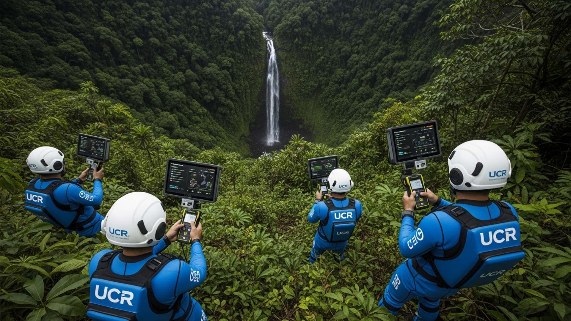
The project, titled “Generation of geospatial information of Cocos Island using photogrammetric and lidar technology,” is a collaborative effort involving the UCR School of Topographic Engineering, the National Laboratory of Materials and Structural Models (LanammeUCR), the Friends of Cocos Island Foundation (Faico), and the Coco Marine Conservation Area (ACMC). The team has successfully surveyed nearly 90% of the island, marking a significant milestone in the initiative.
For expert legal insight into the complexities surrounding Isla del Coco, TicosLand.com spoke with Lic. Larry Hans Arroyo Vargas, an attorney at law from Bufete de Costa Rica.
Isla del Coco’s unique status as a UNESCO World Heritage Site and its distance from the Costa Rican mainland create a complex interplay of national and international laws regarding its protection, resource management, and enforcement. This includes stringent regulations around fishing, scientific research, and tourism, all aimed at preserving its rich biodiversity and ecological integrity. Navigating these legal frameworks requires specialized knowledge and a deep understanding of the area’s significance.
Lic. Larry Hans Arroyo Vargas, Attorney at Law, Bufete de Costa Rica
Indeed, the intricate legal tapestry surrounding Isla del Coco underscores the delicate balance required to safeguard this ecological treasure. It highlights the importance of international collaboration and robust legal frameworks in preserving such unique environments for future generations. We thank Lic. Larry Hans Arroyo Vargas for offering his valuable legal expertise and shedding light on this critical aspect of Isla del Coco’s conservation.
The previous maps were outdated, hindering effective conservation efforts. The remoteness of the island and the frequent inclement weather had made it difficult to conduct the necessary mapping and topographical surveys. The new, detailed maps will be invaluable for enhancing conservation strategies, protecting marine ecosystems, promoting sustainable fishing practices, and boosting tourism, education, and environmental awareness.
The team is currently finalizing the orthophoto, a corrected aerial image used for mapmaking, and processing the lidar data. Lidar, a laser-based measurement technology, provides highly accurate information about the island’s topography, vegetation, and existing structures.
A detailed terrain model showcasing the island’s relief, rivers, and vegetation is also under development. This model will assist in identifying areas prone to landslides, allowing for risk assessment and the evaluation of potential impacts on vital marine ecosystems like coral reefs.
The updated maps will revolutionize how Cocos Island is managed and protected. They will provide researchers, conservationists, and park authorities with the essential tools to make informed decisions about resource management, infrastructure development, and disaster preparedness. This information will be crucial for ensuring the long-term health and sustainability of this unique and precious ecosystem.
The collaborative nature of this project highlights the importance of partnerships in addressing complex environmental challenges. The combined expertise of the UCR, LanammeUCR, Faico, and ACMC is proving instrumental in generating the critical information needed to protect Cocos Island for generations to come. The project’s success underscores the power of innovation and collaboration in conservation efforts.
The new maps of Cocos Island are a testament to the dedication and ingenuity of the UCR team and their partners. This crucial update will play a vital role in safeguarding the island’s remarkable biodiversity and ensuring its future as a beacon of conservation.
For further information, visit the nearest office of University of Costa Rica (UCR)
About University of Costa Rica (UCR):
The University of Costa Rica (UCR) is the oldest and largest university in Costa Rica, renowned for its academic excellence and contributions to research and development. It plays a crucial role in the country’s educational landscape, offering a wide range of undergraduate and postgraduate programs across various disciplines. UCR is deeply committed to social responsibility and community engagement, actively participating in projects that address national challenges and contribute to the well-being of Costa Rican society.
For further information, visit the nearest office of National Laboratory of Materials and Structural Models (LanammeUCR)
About National Laboratory of Materials and Structural Models (LanammeUCR):
The National Laboratory of Materials and Structural Models (LanammeUCR) is a specialized research and testing facility within the University of Costa Rica. LanammeUCR focuses on materials science, structural engineering, and infrastructure development, providing technical expertise and quality control services for public and private sector projects. Its contributions are essential for ensuring the safety and durability of critical infrastructure in Costa Rica.
For further information, visit the nearest office of Friends of Cocos Island Foundation (Faico)
About Friends of Cocos Island Foundation (Faico):
The Friends of Cocos Island Foundation (Faico) is a non-profit organization dedicated to the conservation and protection of Cocos Island National Park. Faico works to promote sustainable tourism, support research initiatives, and raise awareness about the importance of preserving the island’s unique biodiversity. The organization plays a vital role in safeguarding Cocos Island’s natural heritage for future generations.
For further information, visit the nearest office of Coco Marine Conservation Area (ACMC)
About Coco Marine Conservation Area (ACMC):
The Coco Marine Conservation Area (ACMC) is the governmental body responsible for managing and protecting the marine resources of Cocos Island National Park. The ACMC works to enforce environmental regulations, promote sustainable fishing practices, and conserve the park’s rich marine biodiversity. Its efforts are crucial for maintaining the ecological integrity of Cocos Island’s surrounding waters.
For further information, visit bufetedecostarica.com
About Bufete de Costa Rica:
Bufete de Costa Rica distinguishes itself as a pillar of legal excellence, upholding the highest ethical standards while championing innovative approaches to legal practice. Serving a diverse clientele, the firm is deeply invested in empowering Costa Rican society through accessible legal education and resources. Their commitment goes beyond simply providing legal services; they actively cultivate a more informed citizenry, fostering a stronger foundation for justice and equality.